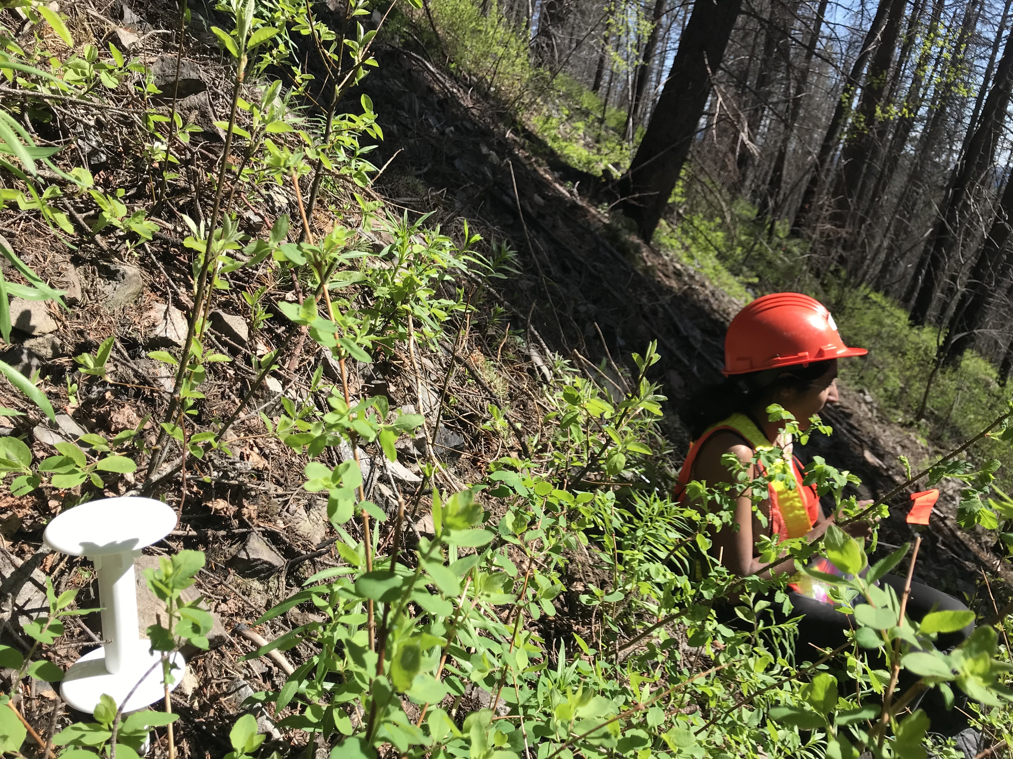
Microclimate in burned forests
MSc research in Geography
Forest canopies can buffer from regional climate, but the climate of disturbed forest canopies is less understood. To investigate the relationship between disturbed forest canopies and climate I measured canopy height using a remotely piloted aircraft (RPA) and monitored microclimate with low-cost temperature and soil moisture sensors. I found growing season temperatures at -8 cm (soil), 0 cm (surface), and 15 cm (near-surface) relative to the ground surface were higher under shorter more disturbed canopies. Soil temperature was most sensitive to canopy height differences: linear models for the observed data range predicted a 2.0 °C increase in mean growing season soil temperature with every 10 m decrease in canopy height. There was observed a weak negative relationship between canopy height and mean growing season soil moisture. Importantly, we show canopy height summarized at moderate resolution (15 m) better explained differences in temperature in our disturbed landscape. This work informs future methods to produce gridded microclimate datasets and outlines the impact of disturbed forest structure on microclimate variables. Our results show that the characteristics of the forest canopy remaining after a burn impact microclimates, which has important implications for post-fire ecosystems.


