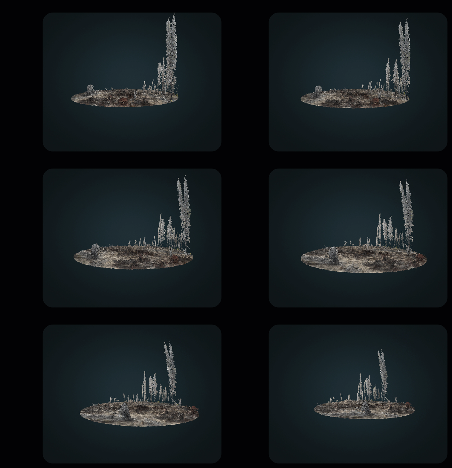
My PhD work looks at structural forest regeneration following stand-replacing disturbances in interior British Columbia. In this work I use lidar derived forest structure to correlate to spectral measurements from satellite metrics. I capitalize on the rapid expansion of lidar technology to develop structural metrics. For satellite metrics, I look at annual and seasonal composites to understand when a disturbance occurred and the spectral trajectory since the disturbance. My work supports the use of early spectral responses capture longer-term forest succession.